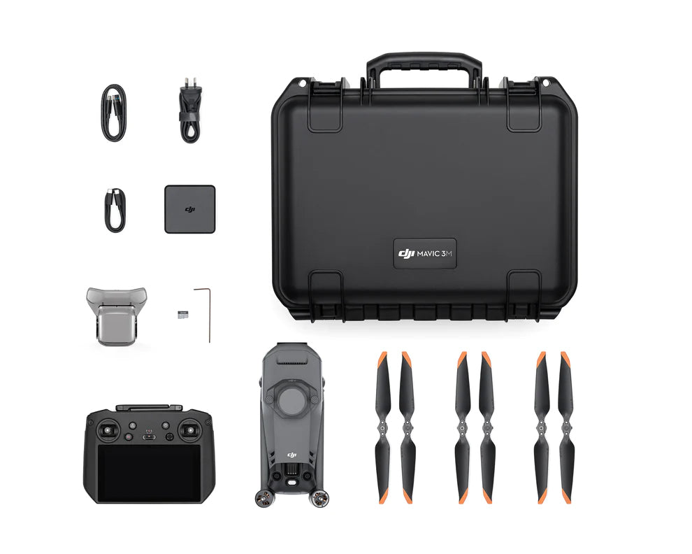
DJI MAVIC 3 MULTISPECTRAL Kit
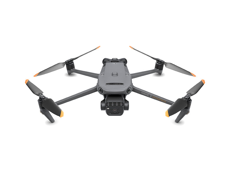
DJI MAVIC 3 MULTISPECTRAL
Effective aerial surveying needs to see the invisible. That's why Mavic 3 Multispectral has two forms of sight. It combines an RGB
camera with a multispectral camera to scan and analyze crop growth with total clarity. Agricultural production management
requires precision and data, and Mavic 3M delivers both.
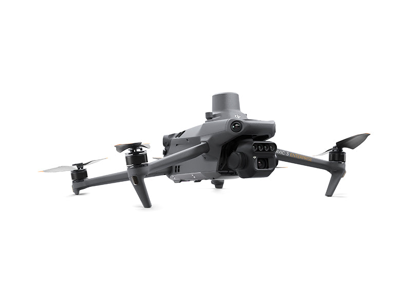
Compact and Portable
Foldable for easy storage
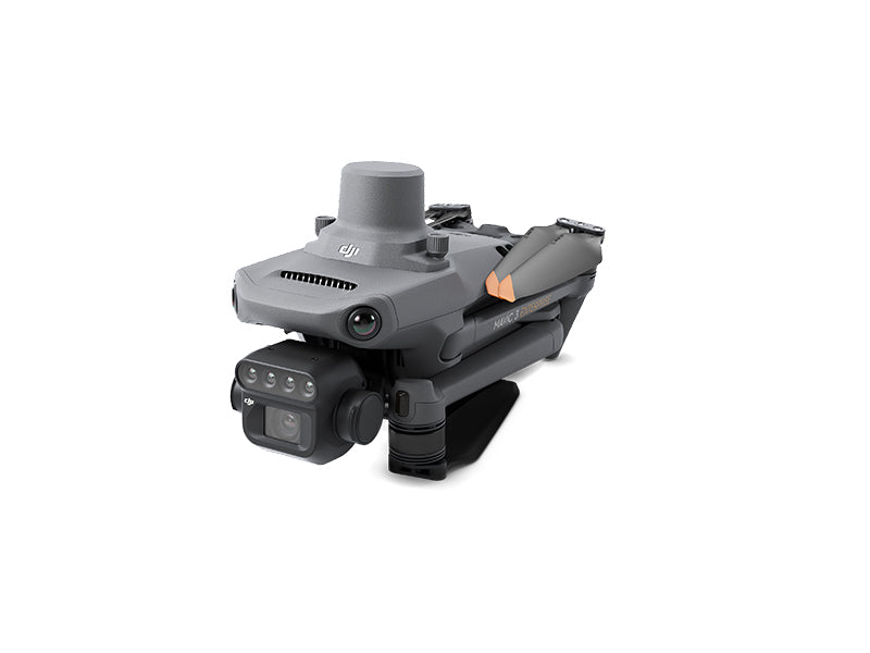
Highly integrated imaging system
Multispectral Camera RGB Camera
4 × 5 MP G/R/RE/NIR
RGB Camera
20 MP 4/3 CMOS,
mechanical shutter
Precise Positioning
Centimeter-level RTK positioning
Synchronization at microsecond level
Safe and Stable
Omnidirectional obstacle avoidance
15 km transmission distance
Efficient Aerial Surveying
Up to 200 hectares per flight[3]
Lightweight and Portable, Highly Integrated
-Small and foldable for easy storage
-Integrates RGB and multispectral cameras
RGB Camera
-4/3 CMOS, 20 MP
-1/2000-second mechanical shutter in order with no rolling shutter
-0.7-second high-speed-burst shooting when shooting with RGB camera only
Multispectral Camera
- Four 5MP multispectral cameras
- Green (G) 560 nm ± 16nm
- Red (R) 650 nm ± 16 nm
- Red edge (RE) 730 nm ± 16 nm
- Near-infrared (NIR) 860 nm ± 26 nm
- Light sensor, NDVI is more accurate
Accurate Images that Capture Every Pixel
-RTK centimeter-level positioning
-Microsecond-level time synchronization
-Phase-less aerial surveying Extra-long Battery Life, Highly Efficient Aerial Surveying
Extra-long Battery Life, Highly Efficient Aerial Surveying
- 43-minute flight time
- Aerial surveying of up to 200 hectares per flight
- 100W Battery Charging Hub, 88W fast charging
Stable Image Transmission, Omnidirectional Obstacle Sensing
-15km image transmission, stable signal
-Omnidirectional obstacle sensing, terrain-follow aerial surveying
Extensive Applications
-Aerial surveying of farmland, mountains, and orchards
-Multispectral aerial surveying to guide variable operations
-Smart field patrols to monitor crop status
-Environmental monitoring and natural resource surveying
You may also like